- Official map of the Rhein-Taunus Club e.V.
- Very accurate and up-to-date topographic cartography in ideal scale 1:25,000
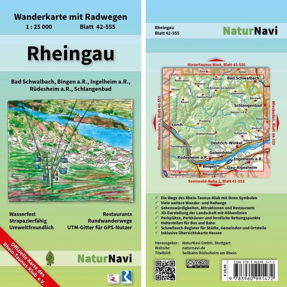
- The paths of the Rhein-Taunus Club with their symbols
- Many other hiking and cycling trails: circular paths, theme routes, long distance paths.
- 3D representation of the landscape with contour lines
- Sights and Attractions
- Many places to stop (restaurants) are shown and named
- Parking spaces and car parks as well as stops for bus and train.
- Forest rescue points for emergencies
- UTM coordinate network for GPS users with fine 1000 m distance
- Quick search index for cities, municipalities and districts.
- Includes overview map Hesse.
- Printed on waterproof, durable and environmentally friendly paper without plastic lamination.


